Everything included in the Aerial Photography – Real Estate package, plus expanded context imagery for larger or rural properties.
This upgrade is ideal when buyers need a clearer understanding of land size, boundaries, and surroundings.
Includes:
8–10 professionally edited aerial photos
Approximate boundary line overlay (for visual reference only)
Wide context shot showing surrounding land and access
Optional property pin and nearby landmarks (when applicable)
MLS-ready delivery and standard turnaround
Approximate boundary lines are illustrative and not a legal survey.
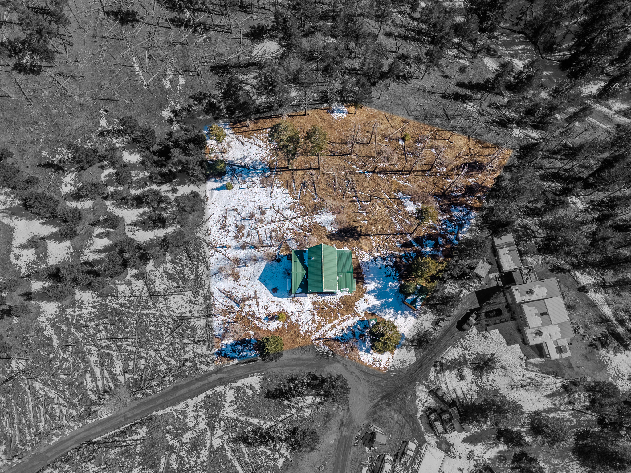 Image 1 of 7
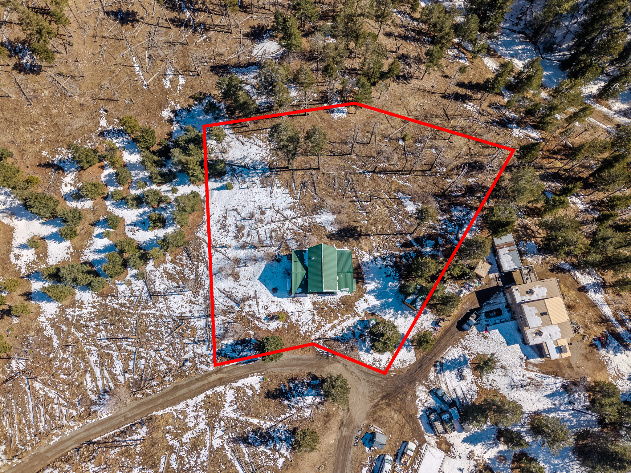 Image 2 of 7
 Image 3 of 7
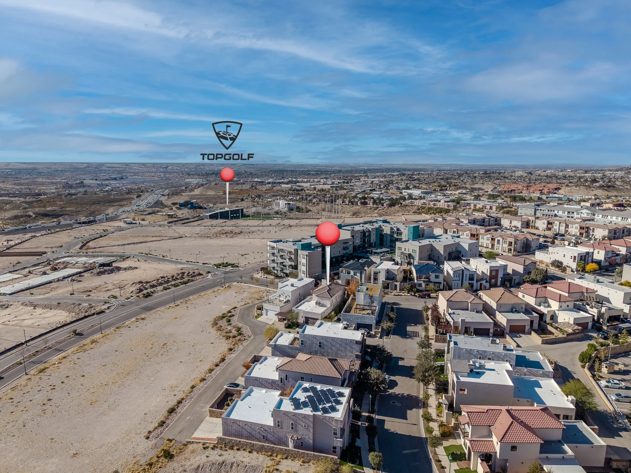 Image 4 of 7
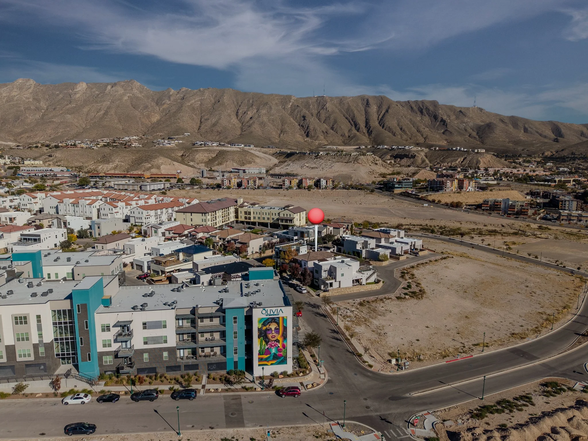 Image 5 of 7
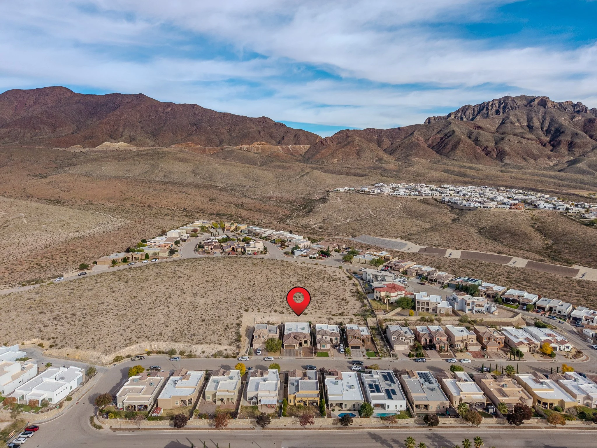 Image 6 of 7
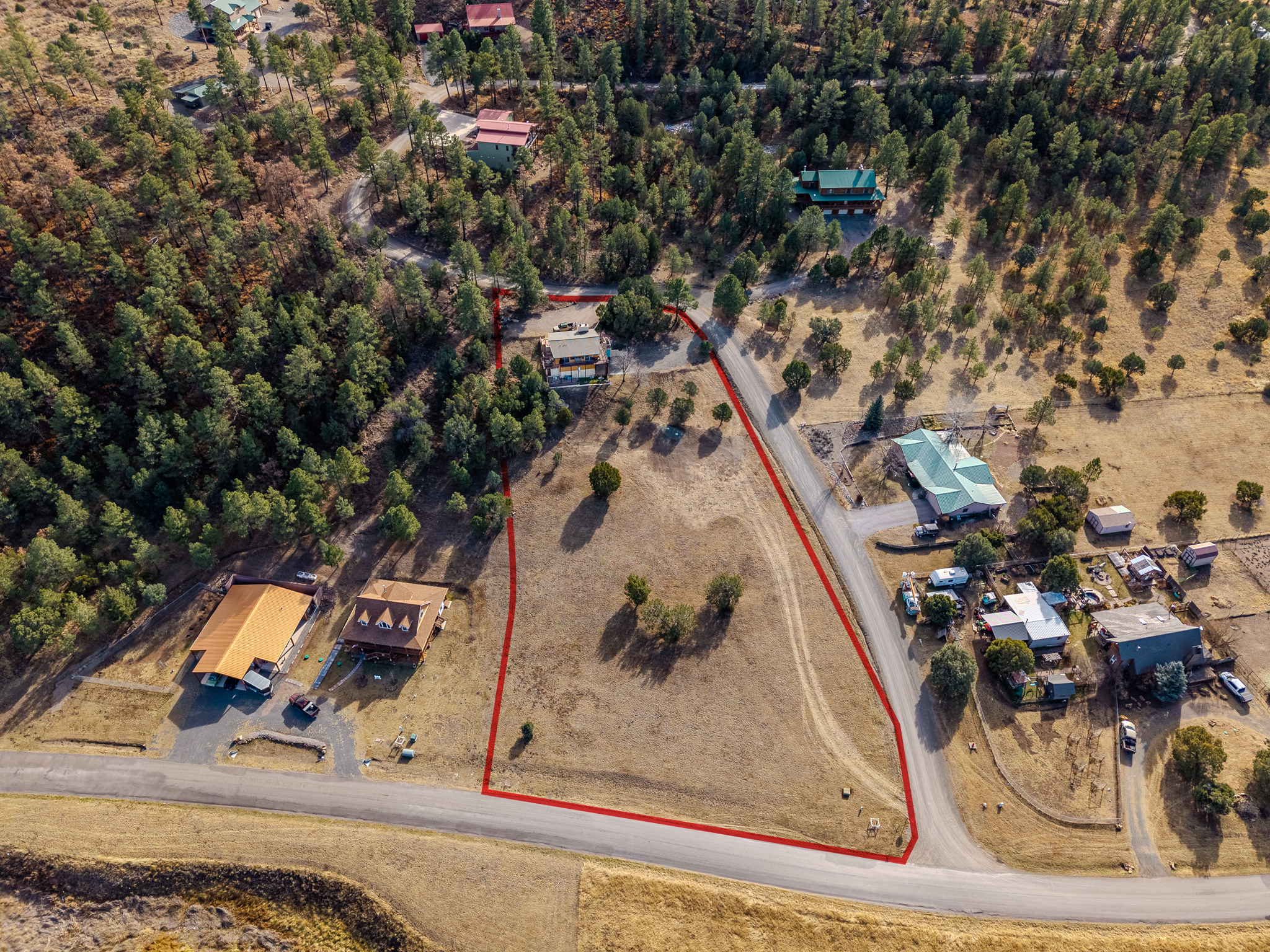 Image 7 of 7