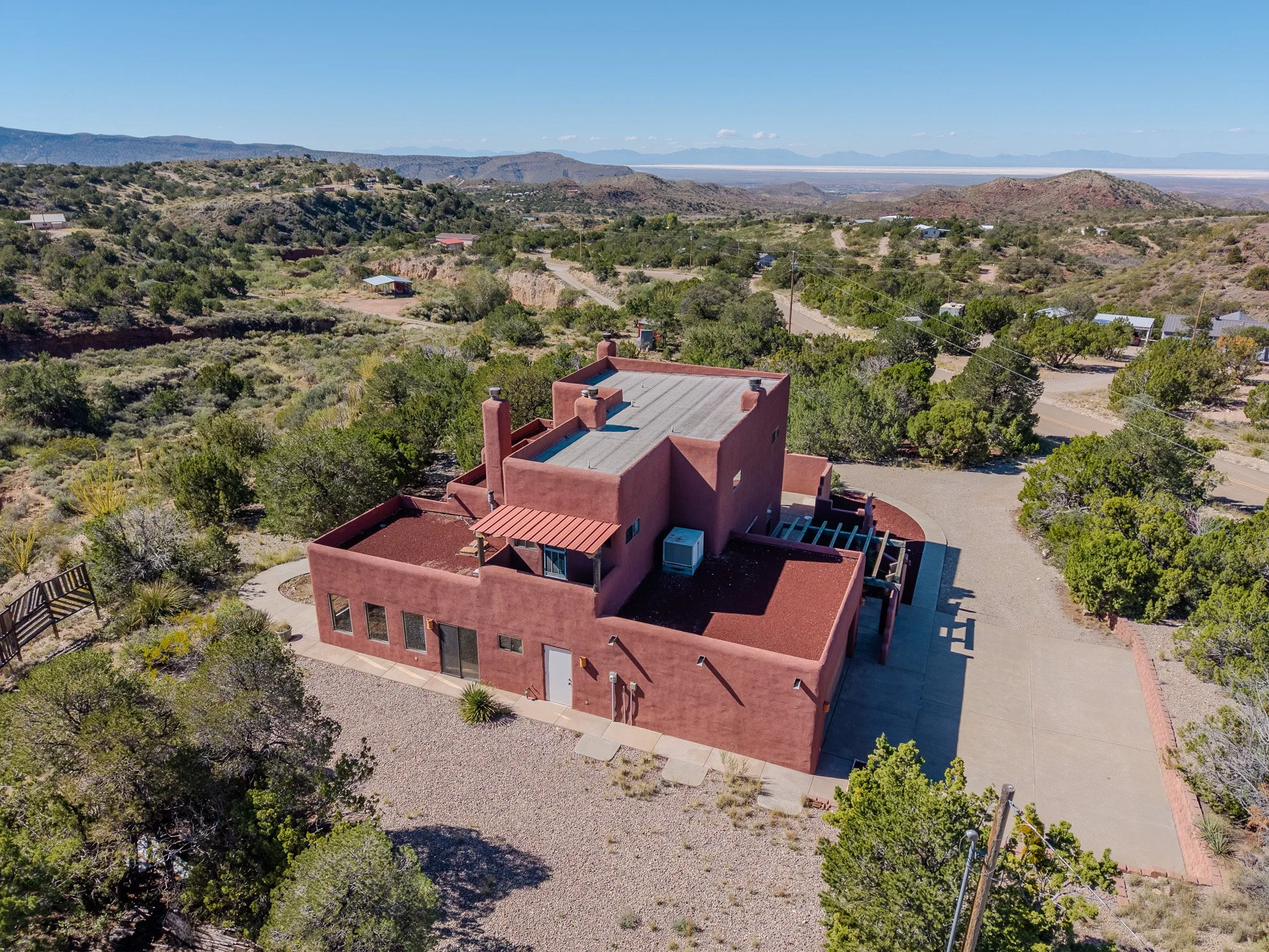
Real Estate Drone Photography & Videography
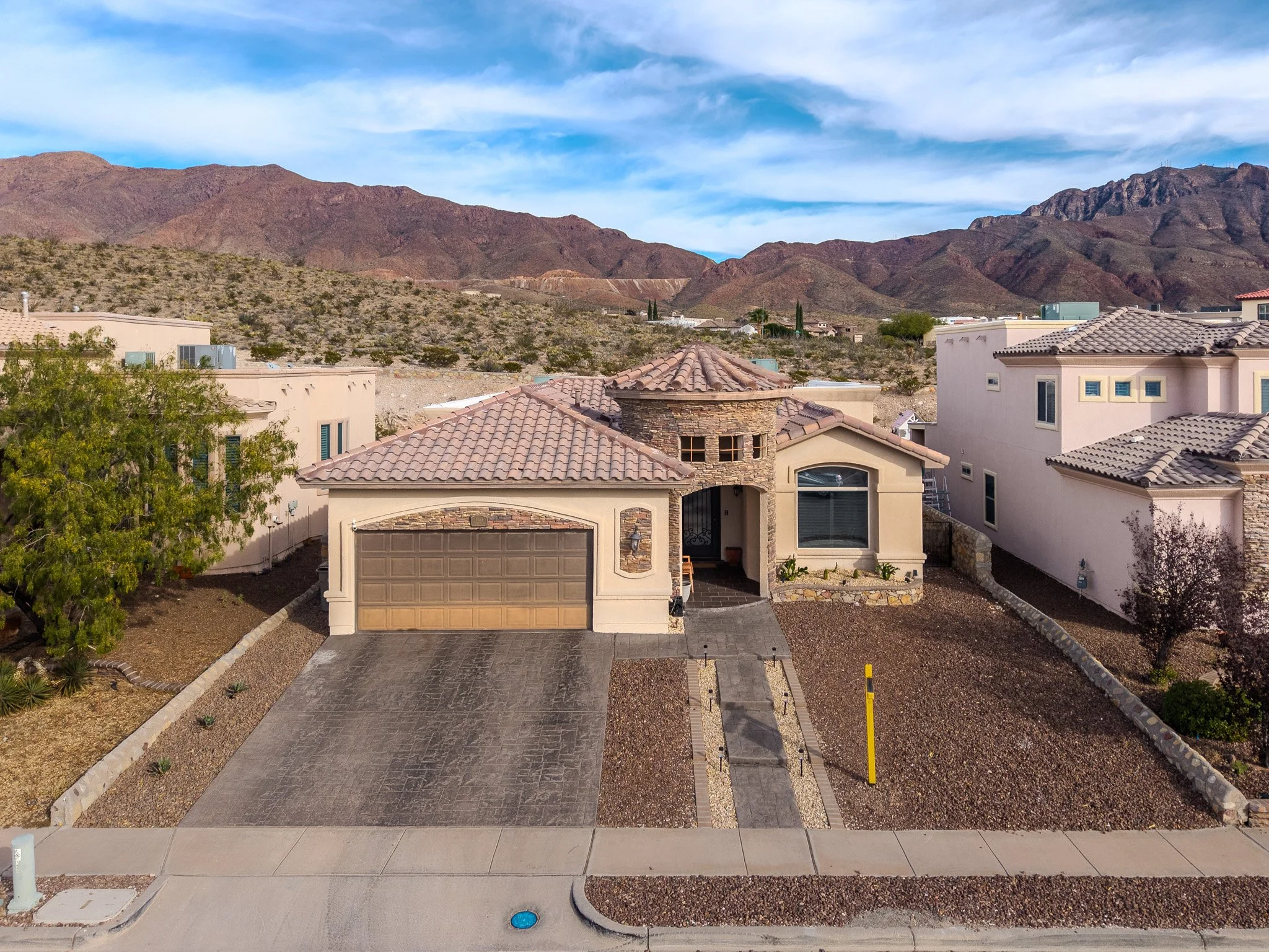
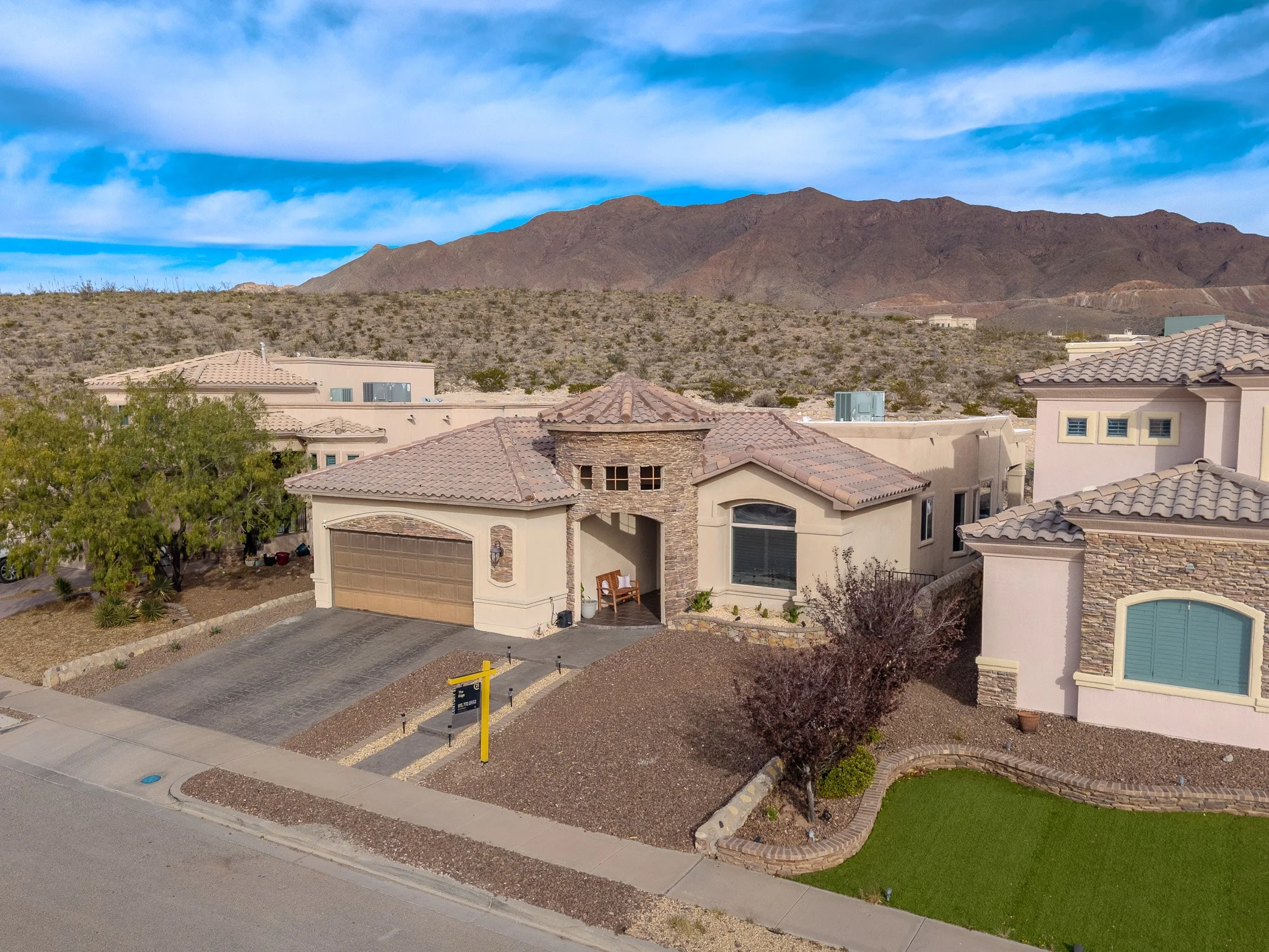
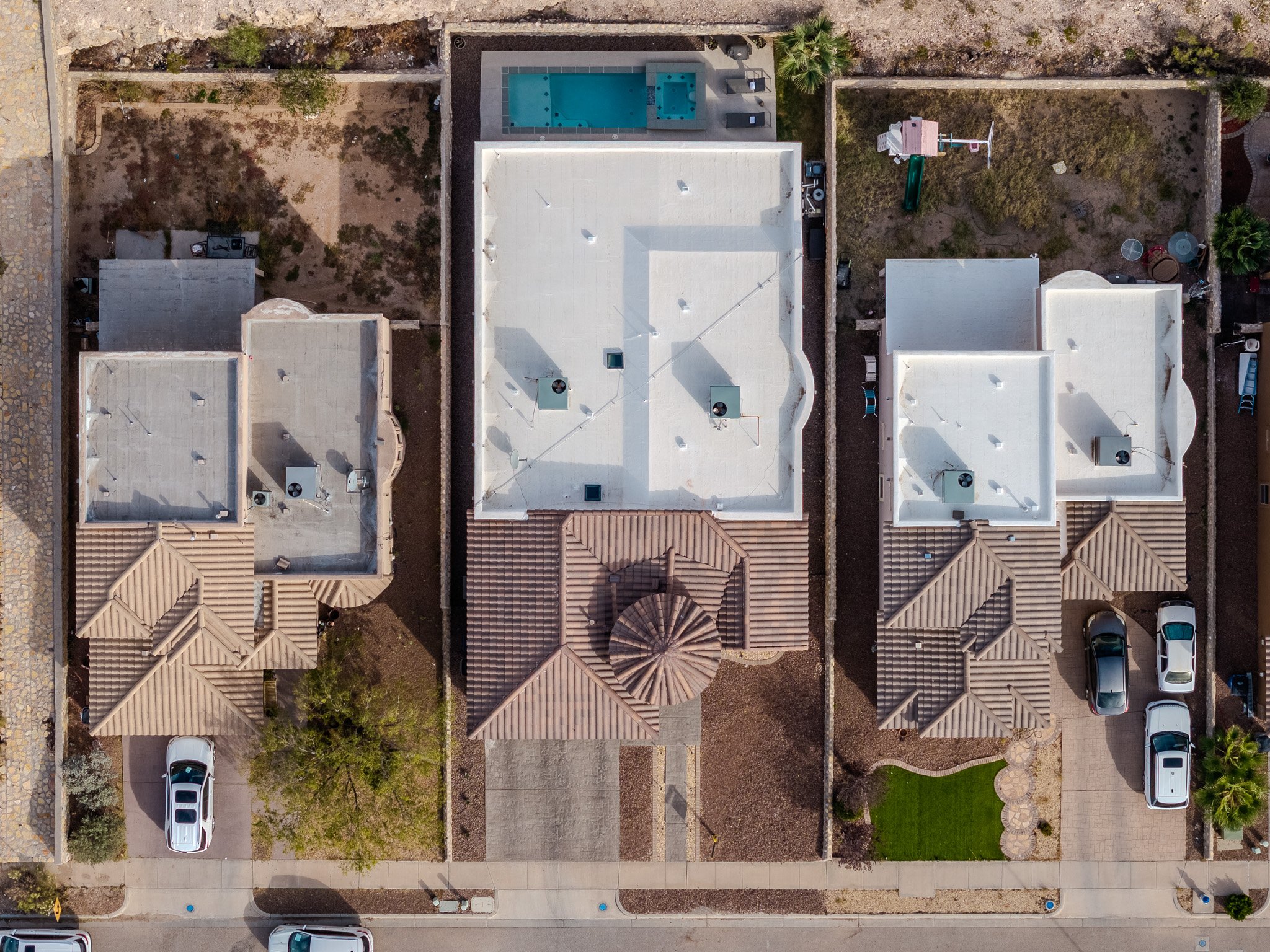
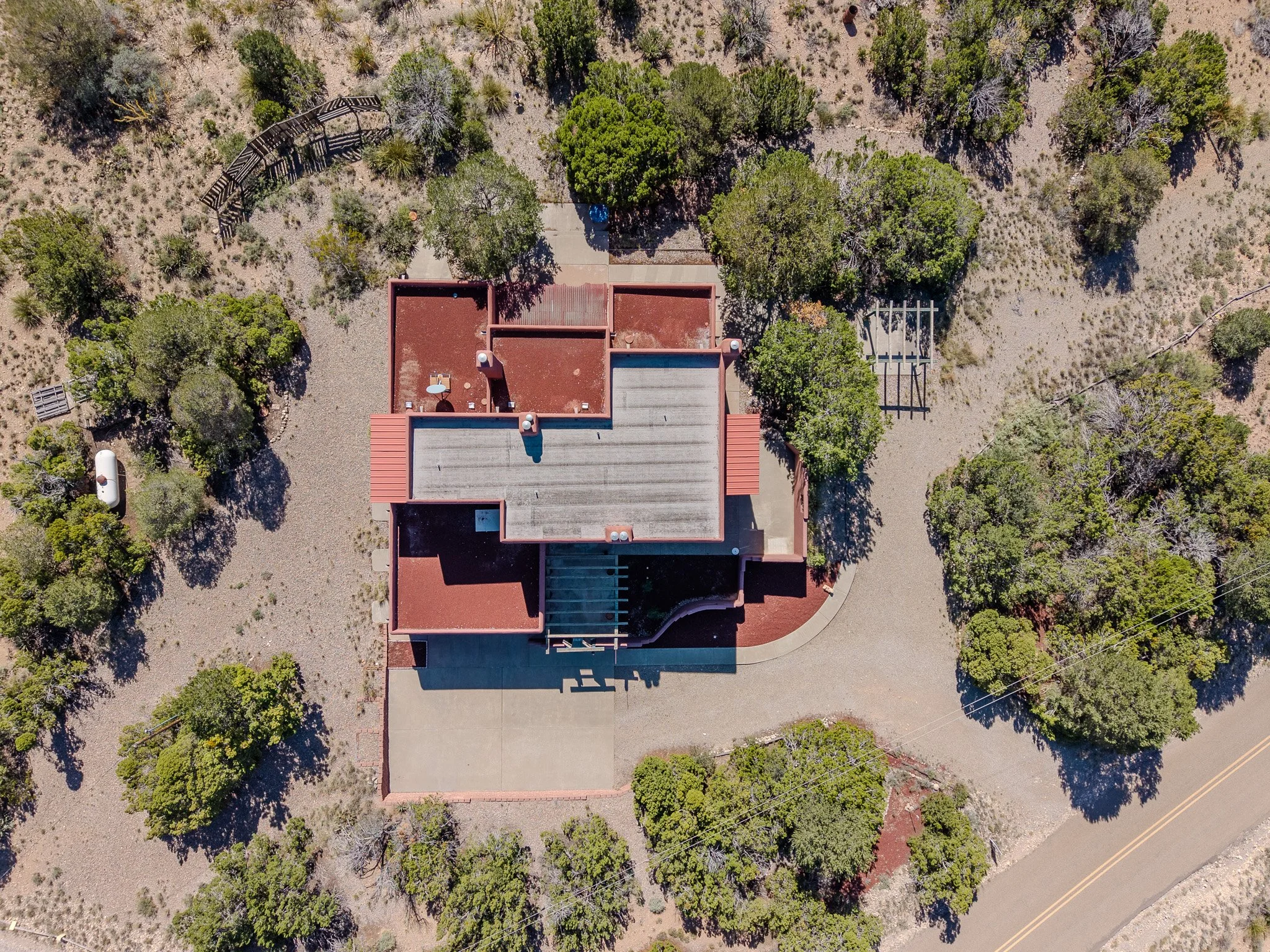
Most buyers form their first impression online. Strong aerial photos and video give context that ground-level images can’t—lot size, surroundings, access, and layout all in one glance.
I provide clean, FAA-compliant drone photos and short listing videos designed specifically for MLS, Zillow, and social media. The goal is simple: help listings stand out, attract serious buyers, and move faster—without putting agents or sellers at risk.


Premier Listing Video
Best suited for premier listings, unique properties, and agents who want a clear edge.
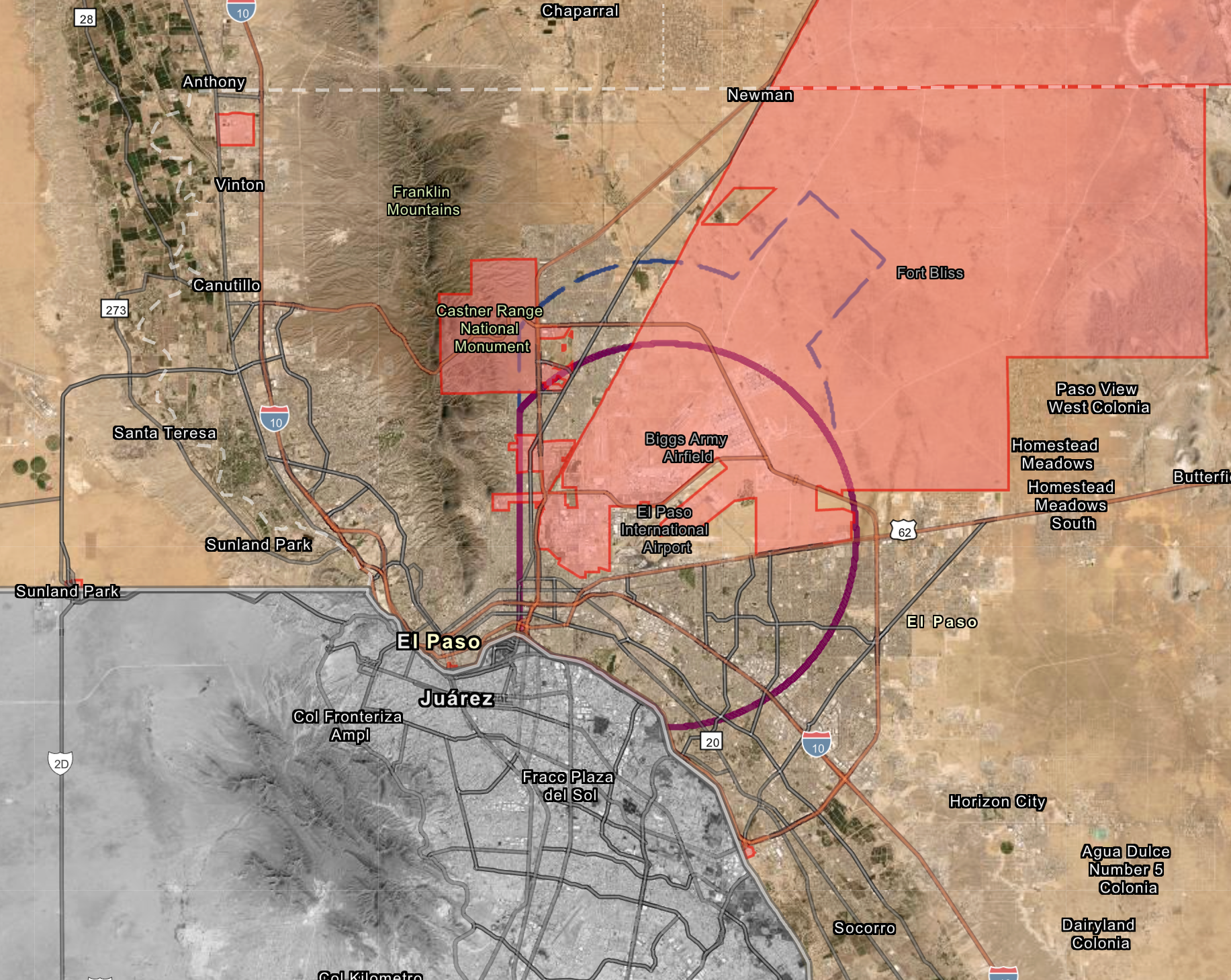
This is not simple Airspace
You’re not expected to know the details of airspace, authorization thresholds, or how military and commercial operations interact around El Paso. That’s not your job.
What does matter is knowing that the airspace here is complex. Operations sit at the intersection of mountainous terrain, an international border, a commercial Class C airport, adjacent Class D airspace, and extensive military training areas associated with Fort Bliss and White Sands. Airspace status can change quickly, and authorization requirements are not optional.
Aero Phi Solutions brings over fifteen years of direct airport operations experience working with El Paso International Airport and the Federal Aviation Administration. Compliance isn’t an afterthought—it’s foundational to how every flight is planned and executed.
When you contract a drone operator who understands these constraints, you reduce risk—to your listing, your client, and your reputation.
Real-Time Airspace Deconfliction
This replay showcases an Aero Phi Solutions Real Estate Operation during an active Department of Public Safety vehicle pursuit, with a DPS helicopter operating at low altitude in the same area as our permitted drone flight.
Situations like this are exactly why airspace awareness matters. When crewed aircraft enter the area unexpectedly, a drone operation must be able to detect the conflict immediately, maintain situational awareness, and respond without hesitation. That includes monitoring air traffic, understanding helicopter operating patterns, and being prepared to adjust or terminate a flight in real time.
This operation was conducted under FAA authorization with active airspace monitoring and established contingency procedures. The presence of manned law enforcement aircraft wasn’t theoretical—it was unfolding live. Safe operations in environments like this depend on experience, planning, and the ability to make disciplined decisions under changing conditions.
This level of coordination isn’t visible in the final photos or video—but it’s what makes professional drone operations possible in complex airspace.